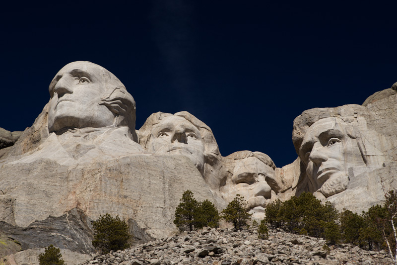
Hiking the Chimney Tops Trail: #1 of 3 Smoky Mountain Adventures

There are at least a hundred hiking trails in the Smoky Mountains, so how’s a girl supposed to settle on just one for an introductory hike?

Eeny meeny miny moe, randomly point on a map, and hit the road!

Chimney1

The Chimney Tops Trail climbs 1,400 feet in two miles, making it a relatively steep trail in anyone’s book. The round-trip trail length is four miles, making it perfect for a moderate morning hike. You’ll find the trail-head for the trip almost seven miles south of the Sugarlands Visitor Center on the Newfound Gap Road (latitude 35.63538, longitude -83.46979). There’s a “parking lot” alongside the road that you could easily mistake for a vista point pullout. This is less than a 30 minute drive if you’re camping in Pigeon Forge, like I did.

Chimney2

Chimney Tops is a mountain in the central Smokys with an elevation of 4,724 feet. It’s one of the rare occurrences of a bare rock summit in the mountain range.

Chimney3

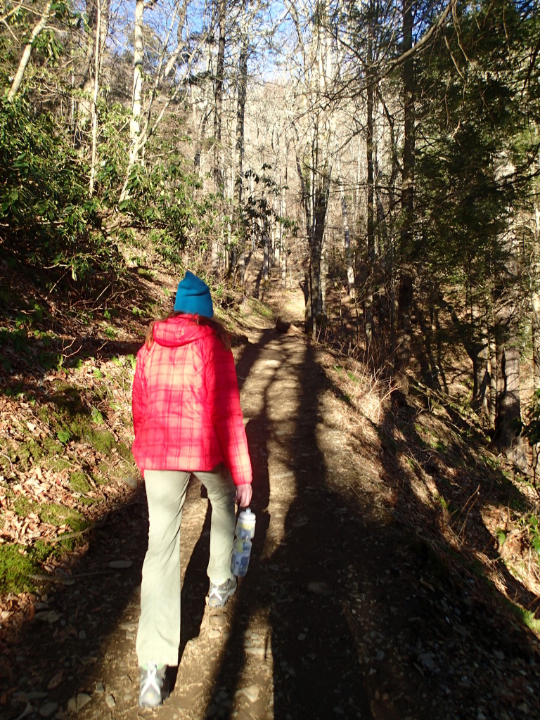
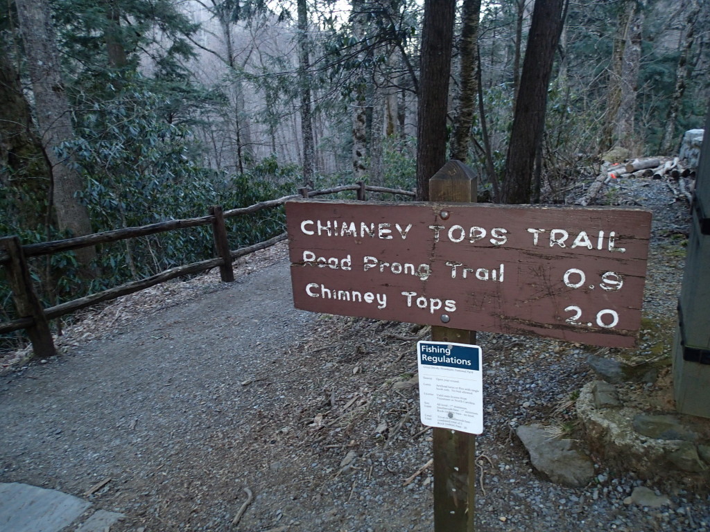
Another reason to hit this trail early in the morning is that it is incredibly popular and gets disgustingly crowded…even during the off-season. The first 0.9 miles of the trail is super easy, so you can get a good pace going.

Chimney10

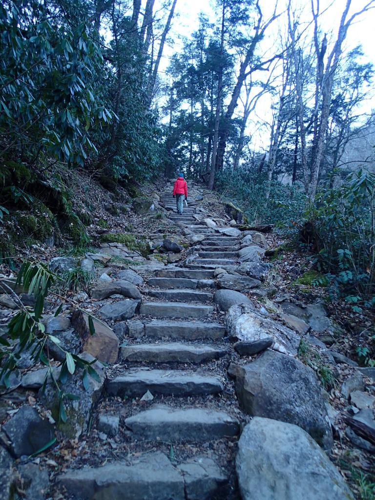
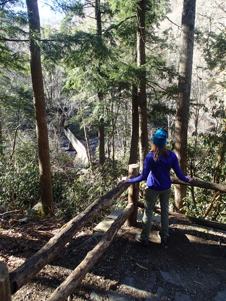
During this stretch, you’ll hike along Road Prong Creek and across several picturesque bridges and up some conveniently placed steps. Expect to step in a good bit of mud, even if you can’t recall the last time it rained.

Chimney4

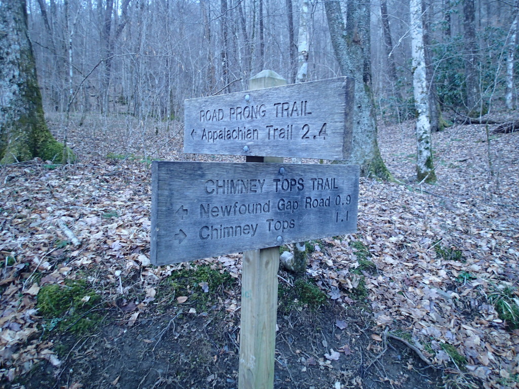
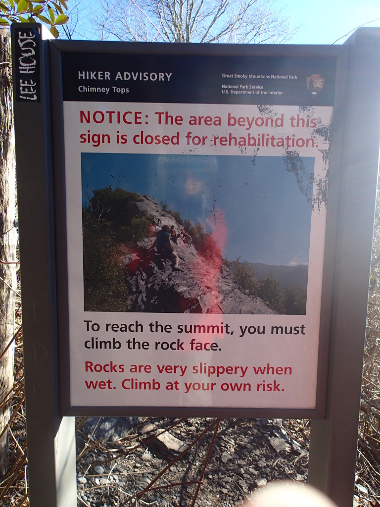
You’ll know you’re halfway to the summit when you reach Beech Flats, and everything gets a little more challenging from here. Stay on the trail that veers right to reach the summit, which is a bouldering problem if I ever saw one.

Chimney5

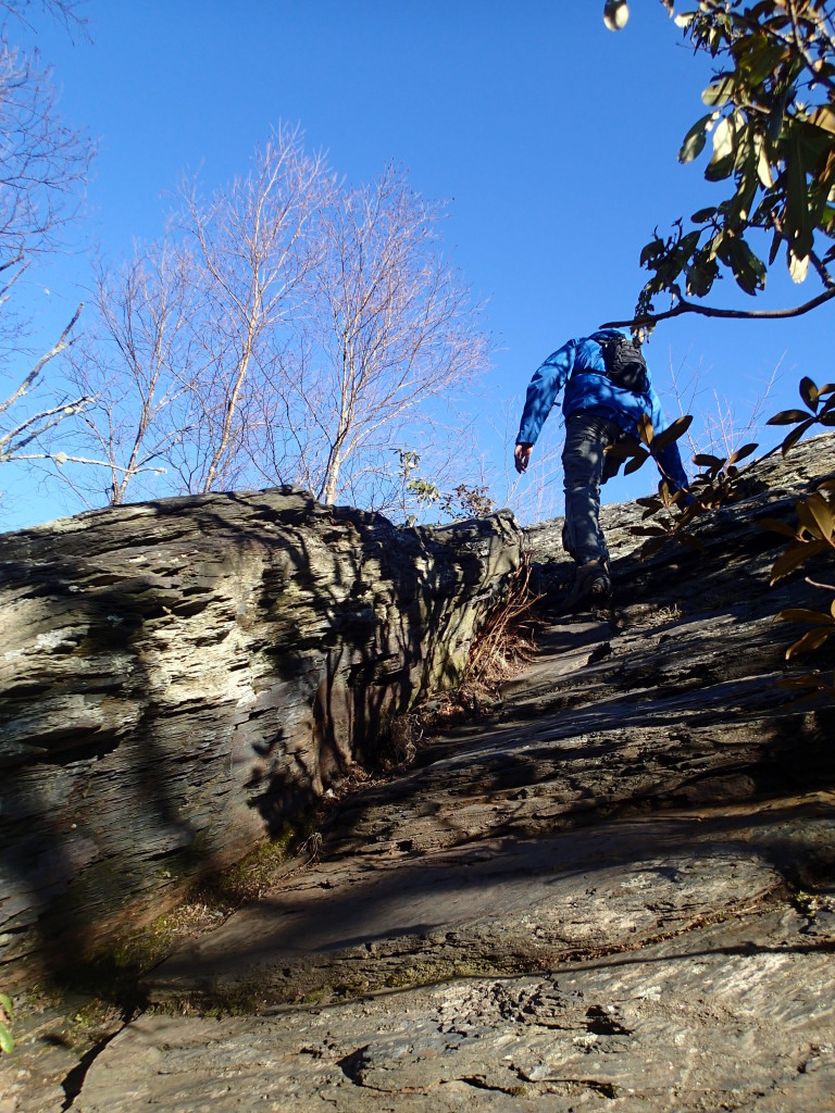
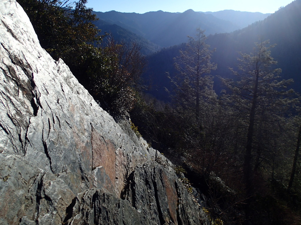
To get the absolute best view, you’ll need to scramble to the top without the help of a cable to hold on to or any technical gear. Hikers get injured here all the time, so if you’ll feeling shaky, stay off the pinnacles and enjoy the comparably awesome view of the Sugarland Mountain in the west and Sugarlands Valley in the north.

Chimney6

I, for one, had yet to develop my mountain legs and told myself I was satisfied with the view after climbing up about one-third of the pinnacle structure. It is nerve-racking up there, but if you gaze straight forward to either side, the characteristically hazy views should restore some inner balance.

Chimney7

From start to finish, Chimney Tops is an incredibly well-marked trail that provides an impressive introduction to the Smoky Mountains. The better-than-average signage also ensures that directionally challenged hikers, like me, won’t get lost and take a wrong turn.

I hiked this trail in about two hours in early March, starting at about 8:00 am. On the return hike back to the car, I began passing by lots of other hikers. By 10:00 am, there wasn’t a single parking spot available in the area.

Chimney8

Chimney Tops was my first Smoky Mountain hike during my most recent trip to the national park. As I later noticed, every Smoky hike is surprisingly unique and has its own particular set of challenges. Coming up next, I tackle the Grotto Falls Trail and the Rainbow Falls Trail, which both had something entirely different in store for me and my trusty hiking boots.

Chimney11

Bald Cypress Reflection: A Pantoum Poem

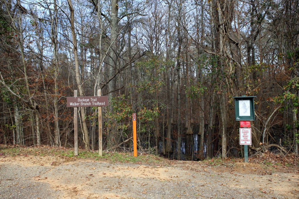
While driving from New Orleans to Shreveport on New Year’s Day, I pulled over at Chicot State Park for a healthy dose of nature to kick off the new year. The park runs along a 20-mile hiking/mountain biking trail that encircles Lake Chicot, passing by a number of primitive campsites along the way.

The mostly-flat trail meandered across gentle rolling hills and through bottomland hardwood forests. It was a peaceful place, void of crowds and roadside noise.

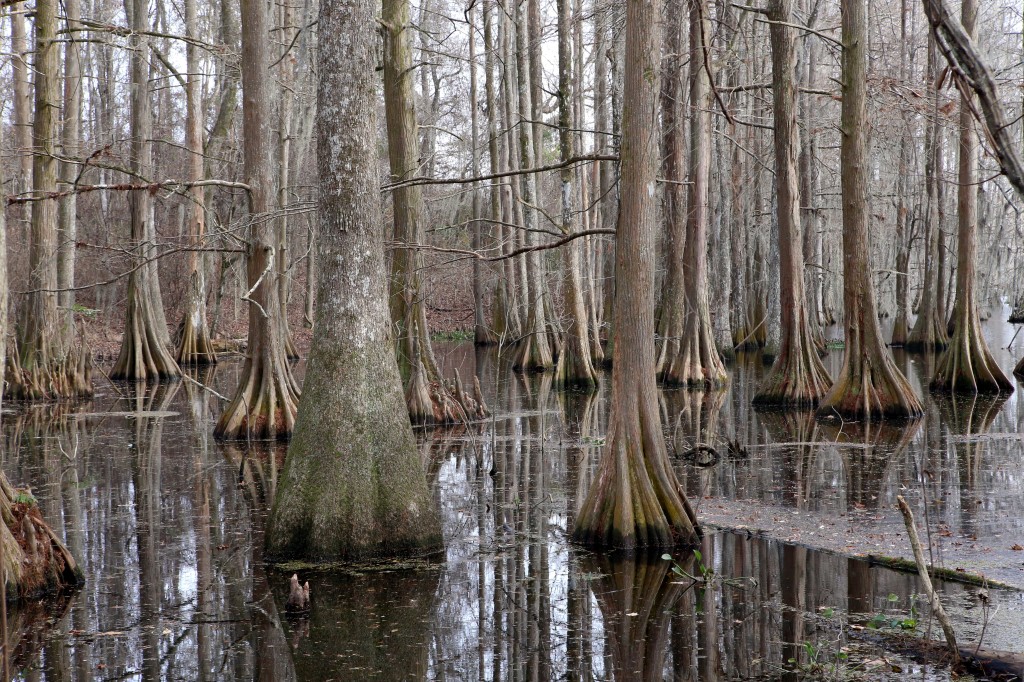
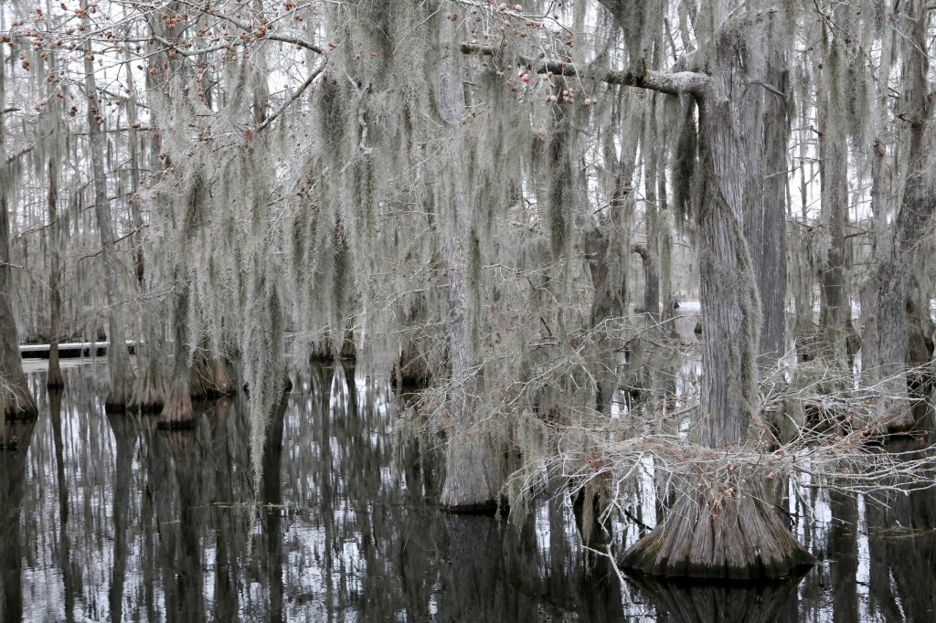
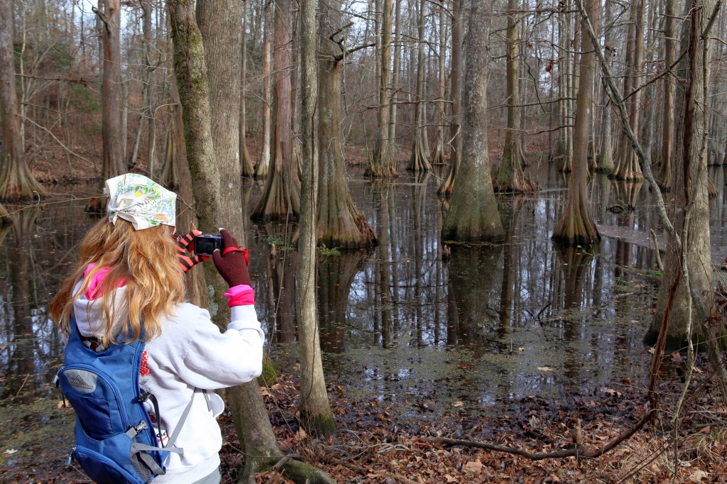
But what stood out the most to me were the bald cypress trees. Native to southern swamps, bald cypress trees form in characteristic groves and raise conical “knees” from their underwater roots. Their leaves may have been dead, but their preserved beauty provided me with inspiration at the onset of a promising new year.
I chose Chicot State Park as the subject of my latest poem and decided upon the pantoum as an appropriate poetic form. Originating in Malaysia in the 15th century, pantoums are composed of four line stanzas, in which select lines are repeated in subsequent stanzas and take on new meaning when repeated.

With that lengthy introduction out of the way, allow me to share with you the first draft of Bald Cypress Reflection.

Bald Cypress Reflection: A Pantoum Poem

On New Year’s Day in Twenty-Fourteen
A mild Louisiana breeze blew through
Rugged boots trudged toward gentle hills
Along an endless trail of dirt

Chicot Park Trailhead

A mild Louisiana breeze blew through
Bald cypress trees waved side to side
Along an endless trail of dirt
Filled with mystery and ominous warning

First view of the bald cypress

Bald cypress trees waved side to side
Perched in the swamp and coated in frost
Filled with mystery and ominous warning
Silence never spoke so loudly

An eerie stillness in the swamp

Perched in the swamp and coated in frost
My weary legs and wearier mind
Silence never spoke so loudly
Signs of life through subtle reflection

Are those berries beginning to form?

My weary legs and wearier mind
A click preserved the image forever
Signs of life through subtle reflection
Southern swamps swallowed me whole

Snapping a shot along the hike

A click preserved the image forever
Rugged boots trudged toward gentle hills
Southern swamps swallowed me whole
On New Year’s Day in Twenty-Fourteen

Road Trip Poetry: Haikus and Limericks from the Northeastern U.S.

In an effort to keep the creative side of my brain active during long stretches of road, I decided to write a poem every day (or so) during my last road trip. Short stories take too much time, blog posts become tiresome after awhile, and my Facebook friends don’t care to read every thought going through my head.

To keep things simple, I settled on the haiku and the limerick for poem structures. Let me take you back to junior high creative writing class for just a moment. A Haiku revolves around that odd 5-7-5 syllable structure, juxtaposes two ideas, and throws in a seasonal reference. Limericks have a five-line AABBA rhyme scheme and tend to be on the ridiculous side.

Without schooling you any further, here is my collection of road trip poetry…categorized by city and state. (Reader hint: each paragraph is its own poem!)

Michigan City, Indiana

Jeep in the service bay
On the way to Maine today
Engine light cleared

There once was a gnome driving a Jeep
“The engine light’s on!” he exclaimed with a squeak
Mechanic found a hose was bent

Jeep in the auto hospital

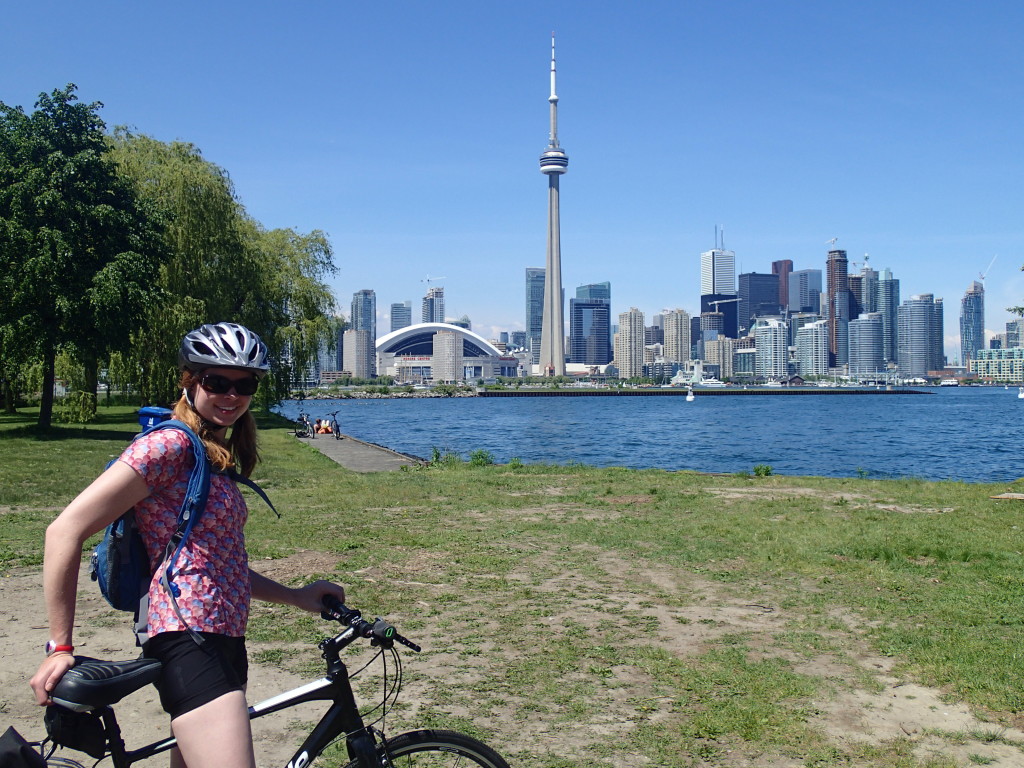
Toronto, Ontario, Canada

Bare butts everywhere
Sketching by bikes in the sand
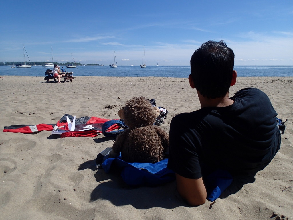
Monkeys on a beach

There once was a monkey from Toronto
I was traveling and he asked, “Hey, can I go?”
We biked through the sand
He said, “I’ll be damned!”
‘Cause that beach required no clothes!

Indian market
Beetle leaves and ice cream cup
Can’t find magic fruit

Toronto traffic
Reminds me too much of home
“Squeeze left,” a sign says

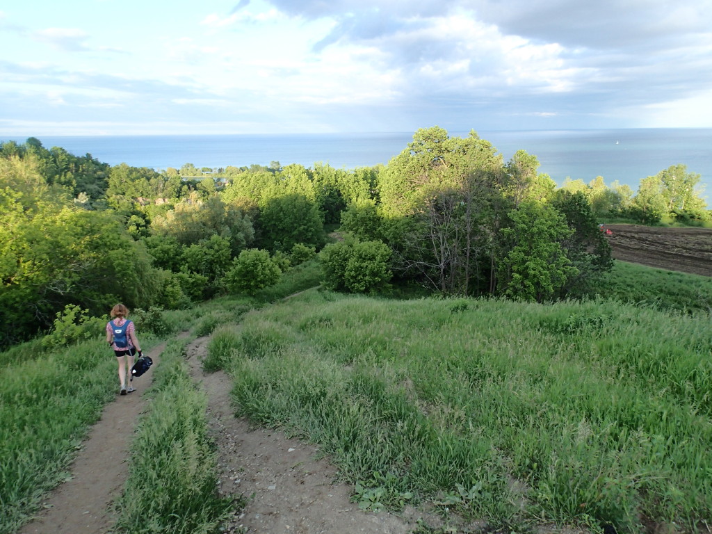
A girl was biking to Scarborough Bluffs
She rode a long way and had enough
Locked her bike to a tree
And scraped up her knee
Falling off the edge feels pretty tough

Montreal, Quebec, Canada

Campfire burning
Old guitar songs sung in French
Sun sets later now

Biking to Mount Royal
Quiet amidst the chaos
Brakes screech, tires swerve

Fine arts museum
Windy day in Montreal
Textured canvas paint

Grand Isle, Vermont

Citronella light
Illuminates ferry boats
Mosquito bites itch

Working along Lake Champlain

South Hero, Vermont

Roadside antique store
Crafts and creatures on the shelves
Windy twisty roads

There once was a man from South Hero
Where the population’s practically zero
He shopped for antiques
‘Til his bike started to squeak
And he skidded right off the pier. Oh no!

Vineyard concert night
Locals drink and dance along
Sun sets on the vines

There once was a band that played covers
The vineyard lawn full with blankets of lovers
The drummer drank too much wine
Ate some raw grapes off the vine
And was carried off stage by his brothers

Waterbury, Vermont

Vermont tasting day
Cider, cheese, chocolate, ice cream
Rain makes trees greener

Twin Mountain, New Hampshire

Tensions in the air
Tear drops fall like pouring rain
Let’s go get Thai food

Cold beans in a can
Styrofoam instant noodles
Sleeping bags are damp

Rainy campground day
Clothes swirl ’round the washer
Bad TV plays on

KOA pizza
Sketching by campfire light
Internet goes out

Toes dipped in the pool
Soothes itchy ankle bug bites
Dark clouds rolling in

Stir crazy working
Caught up and getting ahead
Rain motivation

Rainy day for monkeys

North Conway, New Hampshire 

There once was a climber from North Conway
He searched for good routes all day Monday
Finally set up some climbs
Mostly 5.8s and 5.9s
A bit scraped and sore, but he’s doing okay

Bar Harbor, Maine

Lobster between bread
Clam chowder and blueberry pie
Rainy day delight

There once was a moose from the state of Maine
He crossed where he wanted, which felt like a game
He ignored the road signs
Was ticketed for his crimes
‘Til he was put behind bars. What a shame!

Lighthouse on the cliff
Bell rings and red light flashes
“Click” goes the shutter

Calm breeze makes ripples
Water droplets splash my skin
Kayak on the lake

Firewood burning
Embers travel toward the sky
A hole in my shoe

Swollen drippy eye
Fishes take revenge on me
Shellfish allergy

Waves crash on the shore
Wind and flies test my balance
Yoga on the rocks

There once was a mosquito from the Harbor of Bar
I swatted him away, but he didn’t go very far
Felt him land on my skin
Sucking blood out again
Screw the tent – I’m sleeping in the car

Acadia National Park

There was an old hag at the campsite next door
Her dunkies would cry, and she’d scream some more
Tossed a burning log in the air
Bowed my head, said a prayer
Now all I hear are waves on the shore

Parade candy thrown
Lobster races to my gut
Fireworks so bright

Shift gears up the hill
Wipe the sweat, pedal faster
Cycling carriage trails

Gnomeless antique shop
Rusty junk out in the rain
Creepy man peers out

There once was a sand pail on Sand Beach
It used to make castles, now tangled in seaweed
Someone left it behind
Swept away by the tide
Rake and shovel too far out of reach

photo (3)

Portsmouth, Rhode Island

Chicago to Maine
Many stops along the way
Camping from a Jeep

THE END

Changing My Perception of Texas: Inks Lake State Park

George Bush worshipers, gun lovers, religious fanatics, pickup truck drivers, corrupt oil tycoons.

Those are a few of the Texas stereotypes I brought with me to Inks Lake State Park last month. I forgot about all of them by the end of the week.

Campsite #87

Campsite #87

After trolling the San Antonio-to-Austin circuit for the second time, I ventured a bit off the beaten path to explore some lesser-known parts of the Lone Star State. Inks Lake State Park is within a two-hour drive from both cities, and just north of Longhorn Cavern State Park.

The park takes up 1,201 acres along the Colorado River and has been open to the public since 1950. We chose this campground over nearby Pedernales Falls State Park because of the tent site area and the Internet situation. If I didn’t make a living working at campgrounds, I would shun Internet access entirely. But alas, something has to fund the nightly fees (which were about $20 per night, by the way).

Cliff jumpers at Devil's Waterhole

Cliff jumpers at Devil’s Waterhole

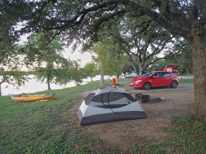
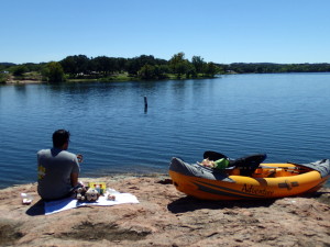
My absolute favorite places to camp are next to flowing water. We were able to secure a campsite next to the lake for the week, which was mighty convenient for frequent kayaking. Since we have an inflatable kayak, a trip on the water usually entails about 15 minutes of hand pumping. However, our Inks Lake campsite had enough space to leave the kayak sit out inflated each day.

Check out the campsites between space 85 and 91. These have lots of space and nice sunset views, although they tend to get crowded with RVs during peak times. There’s some small, but cutesy, looking cabins a few yards away too if you’re a little less hardcore.

Island picnic via kayak

Island picnic via kayak

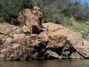
Although the lake isn’t enormous, there are a few good kayak routes to check out. One leads to Devil’s Waterhole, where low-key thrill-seekers take turns cliff jumping. There’s also a small island off the coast of the pavilion on the northeast end of the park. This is a great place to kayak to for a secluded lunch or swim to, if you’re not worried about your feet touching the ground.

There’s really only one hiking trail inside the park boundaries, and that’s the Pecan Flats Trail. There are some unexpectedly nice vista points along the trail and a good number of cacti to scope out. Parts of the trail are severely overgrown, so you might have to turn around and head back if the insects are driving you nuts. Take a look at this trail guide to brush up on plants you’ll see along the way.

One of the coolest part about the Texas State Parks is the free fishing. Never have I encountered another recreational area that lends you fishing poles and tackle for free. As someone who occasionally (and impatiently) dips a pole in the water but who has never actually caught a fish, “free” is essential.The park staff isn’t all that concerned about you keeping the gear for a few days either. I was simply asked to bring the pole back at the end of the week when I check out. The park general store sells live bait for a few dollars, as well as souvenirs and snacks.

That general store also rents out kayaks, canoes, and paddleboats by the hour for about $15-20. Since we have our own kayak, we decided to take a paddleboat out on day for a lunch break from work. There’s no way around it – paddleboats are really dumb. However I justified the experience by smuggling a couple beers on board and declaring the peddling to be an adequate leg workout for the day.

I felt simultaneously more work-productive and more relaxed at Inks Lake State Park than anywhere else in a long time. Since I’ve returned home to my home base in Chicago, I haven’t been able to find anywhere near the motivation or focus I had while working and playing here. Not only was Inks Lake a breath of fresh air for my confidence and my state of mind, but it was also instrumental in changing my perception about the state ofTexas.

Pre-Shutdown Weekend at Padre Island National Seashore

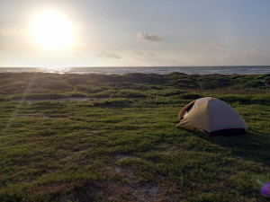
Tent site above the beach

Tent site above the beach

Undoubtedly, there are thousands of blog posts flying around in a political uproar over the federal government shutdown. Although there’s a political science degree hanging on my wall, this is not a political blog and it never will be.

But as I sit here on Shutdown Day 2, one particular closure hits close to home.

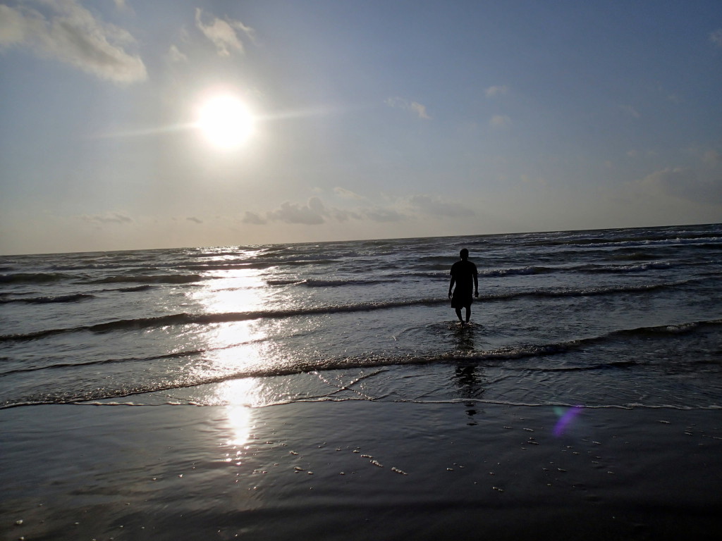
Sunset stroll

Sunset stroll


I spent last weekend at Padre Island National Seashore near Corpus Christi, Texas. I packed up for home on Monday, as scheduled, which happened to be the day before the Shutdown. I must admit I’m having a hard time believing that the beautiful place that I called home for four days is now barricaded and vacant.

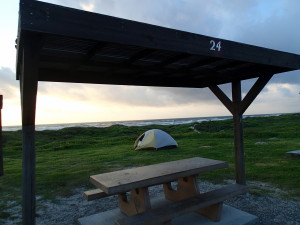
Pavilion setup - #24

Pavilion setup – #24

I wish I could provide you with a link to the campground I stayed at, but as with all of the national parks, the Padre Island website has been replaced with this ominous closure message:

Due to the lapse in appropriated funds, all public lands managed by the Interior Department (National Parks, National Wildlife Refuges, Bureau of Land Management facilities, etc.) will be closed. For more information, FAQs, and updates, please visit www.doi.gov/shutdown.


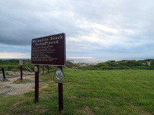
Malaquite campground

Malaquite campground

So until those idiots pull their heads out of their asses, I guess you’ll just have to take my word for it.

Malaquite Campground is the main campground inside the national seashore boundaries, and it’s situated along the dunes of the Gulf of Mexico.

It’s a semi-primitive campground with fifty sites: eight are tent-only and twenty-six can accommodate RVs. You can’t make advance reservations here, so you have to take your chances and show up to see what’s available.

Sites cost $8 per night here, but you do have the “luxury” of flush toilets and cold-water pump showers. In actuality, these are the most luxurious campsites because the other camping areas have zilch for amenities.

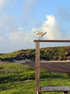
Bird!

Bird!

The best place to kayak is Bird Island, but head to the windsurfing area and not the boat launch. You can put in anywhere along the shallow shore, and the waves are much calmer than over at Malaquite.

You can also camp over here at Bird Island, which has a couple pit toilets and a kayak rental shop, but not much else. Be prepared to shell out $5 at the front gate to do any of the above at Bird Island.

If you’re looking for a deal, you can camp for free at North Beach, but you’re pretty far from the facilities if you’re shy about pooping outside. It’s also totally acceptable to drive ON the beach, so your tent could very well come in contact with a Ford F-150.

Footsteps in sand

Footsteps in sand

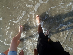
When I asked a park ranger for hiking suggestions, I was reminded that there are seventy miles of undeveloped coastline to tread along. Silly me. Turns out, this was my favorite part of the park. The sand wasn’t too hot, the waves refreshing, the beaches uncrowded, and the water clean(ish).

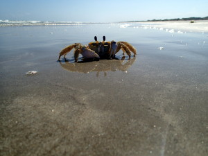
Apparently, there are 380 species of birds here, but I can’t recall seeing more than four or five. You can find lots of crabs in the sand and along the shore here. They come in a variety of colors and sizes, and I even had the pleasure of chasing one of out of my shower with a flashlight!

Crab!

Crab!

There’s no denying that the mosquitoes were horrendous. Spray yourself with insect repellent ’til it seeps from your pores, but it won’t even make a difference. It’s also crazy windy here, especially when setting up a tent, so don’t say I didn’t warn you.

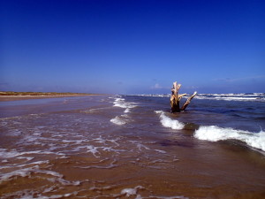
Rogue tree in the gulf

Rogue tree in the gulf

Padre Island National Seashore felt like one of the last undeveloped places of its kind. It could have easily turned into another Miami Beach, with sprawling hotels, cocktail bars, and tourist shops.

However, this place was a true example of nature at its finest. To me, there are few finer things in life than waking up on the sand to the sounds of crashing waves and the first rays of morning light.

Political commentary aside, I truly hope that this and the other national parks will be reopened soon so we can continue having these experiences and loving the good parts of our country.

Sunset on Padre Islanad

Sunset on Padre Islanad

The First (of Several) Texas State Parks: McKinney Falls, South Austin

When choosing a campground, you can usually go one of two ways: private or government. State and federal park campgrounds tend to be cheaper, but often at the expense of no privacy and no amenities (i.e. Internet). Private campgrounds come with a higher price tag, but often aren’t tucked away in the most beautiful places.

Camp site #15

Camp site #15

However, McKinney Falls State Park proved to be a little bit of the best of both worlds. Located in South Austin, this 726-acre park has been open to the city-dwelling public since 1976. It’s named after Thomas F. McKinney, who was one of Texas’s first colonists and made a fortune off of racehorse breeding, flour mill production, and slave labor.

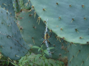
Spiders as neighbors

Spiders as neighbors

Campsites range from $15 for walk-ins to $24 for spaces with water and 50-amp electric. The sites book up fast, even after Labor Day, so we secured the very last one for the weekend. All the sites are separated from each other pretty well, so you won’t feel cramped next to neighbors with monstrous RVs.

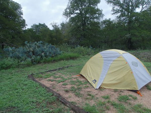
We were initially worried about camping the first night because it was raining, there were flood warnings, and the campground is near Onion Creek. However, each site has a “tent pit” that’s outlined with logs and we didn’t experience a single pool of water. Some sites shade trees and others have none, so choose wisely based on your tendency to sunburn.

Hiking trail map

Hiking trail map

The campsites have a wide open feel and there are plenty of cactus to make you feel like you’re camping in the desert. There are a couple visitor centers in the park and the staff will kindly talk your ear off if you let them. The grounds are incredibly well-maintained for a government facility and I had no complaints about the shops, bathrooms, or site grounds.

We went hiked a few of the McKinney trails, which are okay or biking but definitely better for hiking. Since “hill country” isn’t really all that hilly, the trails are pretty easy but still scenic. One pit stop along the way is “Old Baldy,” which is a 500 year old, 103-foot tall cypress tree along the trail.

There are two waterfalls, upper and lower falls, that are easy to get to and worth a stop. They aren’t very tall, but gazing into a waterfall is always relaxing, regardless of their magnitude. Due to recently heavy rains, we weren’t able cross over the falls and access the other side of the trails.

Suspicious footprints

Suspicious footprints

Texas state parks don’t require a fishing license to fish and much to my surprise, they loan out fishing poles for free. It’s a totally laid back transaction and some locations even have fake bait to give out too. We settled on an inopportune fishing spot under some shade trees and spent more time untangling the the line than actually casting out. It was a learning experience, that’s for sure.

One of the coolest things about McKinney Falls was its proximity to Austin. It was only about a twenty minute drive from downtown, which made it easy to sightsee during the day and camp at night. However, I never felt like I was right outside a large city while I was camping here: no traffic noise, no bright lights, and plenty of nature in all directions.

Tangled in fishing line

Tangled in fishing line

My final recommendation is to spring for a Texas State Park Pass if you’re going to camp for more than a couple days. It sucks parting with $70, but it starts saving you money on about day #3 of camping. The pass gets you out of paying the $6+ daily park fee, gives you 50% off your second night at any state campground, and gives you 10% off any supplies you buy at their stores.

Before this trip, beautiful parks were the last thing that came to mind when I thought of Texas. Believe it or not, there are 93 state parks here, and I look forward to visiting as many of them as possible during my trip.

HikeTheWorld Mobile Travel App Released!

My colleagues and I have been working on a mobile travel app called HikeTheWorld that virtually guides you through some of the world’s greatest treks, hikes, and rides.

HikeTheWorld


It just went live for iPhone! Free to download and scope out, so yeah, you should do that. More adventures, including ones I wrote about London, Kyoto, and Central Thailand, will be coming soon.

Learn more about Leaping Llama Labs.

Casual Judgements in Toronto

After spending a few days in Canada’s largest city, I couldn’t help but make some observations along the way. Here’s a few things that I found scribbled in a notebook from those days as I worked, played, and remained casually judgmental.

1. Biking is okay in Toronto, but not great.

Before even crossing into the city limits, I had the impression that Toronto was a bike-friendly city. With a permanent residence in Chicago, I had high expectations for the Canadian equivalent. I will say that a few areas around the city are great for biking…Toronto Island in particular after the ferry ride. However, a majority of the streets downtown don’t have bike lanes, so you have to squeeze between cars in heavy traffic. To save on hotel bills, I stayed in the semi-nearby Scarborough Township. Biking to the downtown area required either a bus-yellow line subway ride or a blue line-green line transfer subway ride, which became a pain in the ass after a couple days.

OLYMPUS DIGITAL CAMERA2. I’m a minority.

I see enough white people on a daily basis, so Toronto was refreshingly diverse. Never have I seen so many mixed-race couples and bi-racial kids running around in public parks.

3. You can smoke weed wherever you want. 

A whiff here, a whiff there, a passing breeze to bring back cloudy memories of college days. Unless my nose steers me wrong, Toronto isn’t all that hung up on public use marijuana laws.

OLYMPUS DIGITAL CAMERA4. 90’s grunge isn’t dead.

If you lived out your adolescent years in the 90s you might feel right at home in Toronto. While biking the city streets, I saw a greater than average number of flannel shirts, baggy jeans, mohawks, and camouflage.

5. Folks are cool with being naked. 

I had the pleasure of experiencing my first nude beach near Hanlan’s Point on Toronto Island. There were a good number of fully nude dudes, a couple shirtless chicks, and a surprisingly un-weird vibe. This beach was incredibly peaceful, despite all the “stuff” hanging out.

OLYMPUS DIGITAL CAMERA6. Traffic is just as bad, or worse, than Chicago.

Since I live in a city, I typically don’t enjoy vacationing in a city…especially another one with similarly stressful traffic. Getting around the highways can be difficult when your GPS doesn’t understand where Canada is and your cell reception cuts off at the border.

7. People aren’t overly friendly, but cordial. 

After my last road trip through Montana, I became accustomed to strangers being friendly to road trippers. Toronto struck a middle ground in this regard. Locals didn’t exactly go out of their way to say hello, but they weren’t assholes either. I met a guy named Walter who lived on Marcos Street and had an exquisite collection of gnomes in his yard. Naturally, I introduced myself. He was kind enough to let me snap some shots and even see the backyard collection.

OLYMPUS DIGITAL CAMERA8. The Scarborough Bluffs don’t exist. 

I read about the Scarborough Bluffs on Trip Advisor and thought it’d be a cool place to check out for some cliff-side biking. I found that the bluffs (if they do happen to exist) are pretty inaccessible by bike. After some dead ends and treacherous roads, I didn’t even catch a glimpse of any jagged peaks.

OLYMPUS DIGITAL CAMERA9. Shit’s expensive.

Just when you thought things were expensive back at home, Canada gives you a swift slap in the face. A one-way bus ride cost me $4.35, a mediocre six-pack of beer costs me around $13, and if I could figure out the metric system I’d tell you what an exorbitant rate I paid for gas.

Those are the nine random things that I’ll probably remember most about being in Toronto? I can’t say that I felt at home there and I’m not sure if I’ll be back anytime soon, but it definitely was an interesting place that was fun to spend a few days in.

Pictographs v. Petroglyphs v. Graffiti

No, it’s not a Supreme Court case, but it does raise an interesting debate.

Before traveling to Montana and Wyoming, I hadn’t the slightest clue what a  pictograph or a petroglyph was. But as a resident of Chicago, I knew damn well what graffiti was. After a couple self-guided tours, I now like to think of myself as somewhat of a pictograph/petroglyph expert.

IMG_1509The Cliff’s Notes, you ask? Petroglyphs are carvings and pictographs are paintings.

Although they’re both types of rock art, petroglyphs are carved into an exposed rock surface and pictographs are painted onto those surfaces. I saw my first pictographs at Pictograph Cave State Park in Billings, Montana. Some prehistoric hunters used to camp in this cave and left us something to remember them by. More than 100 pictographs and artifacts have been found in the cave, the oldest being 2,000+ years old.

IMG_1510The state park is quite small compared to most in the area and has just one hiking trail. However, the lack of trails is made up for by the abundance of educational plaques along the way. You’ll need to pay the friendly ranger $5 if your car has an out-of-state plate before making your way up the well-paved, wheelchair accessible trail.

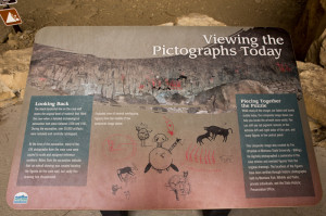
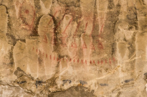
IMG_1515There are actually two caves at Pictograph State Park: the Pictograph Cave and the Ghost Cave. The trail guide details twenty-five points of interest and historical antidotes along the way. An interpretive plaque at the entrance of the Pictograph Cave helps you locate red paintings on the wall. Although the paintings are understandably faded, you can definitely still make out  images of bison, rifles, and weird crying babies flying on balloons.

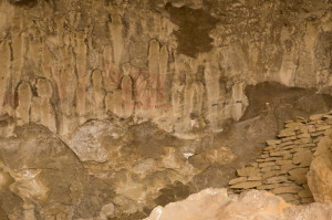
IMG_1497Archaeological digs have indicated that the Ghost Cave, which features creepy, protruding boulders that sort of look like ghosts, was inhabited between 200 and 500 years ago. The Crow Tribe of Native Americans referred to this area “Alahpalaaxwaalaatuua,” which is a mouthful and literally translates to “where there is ghost writing.”

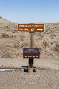
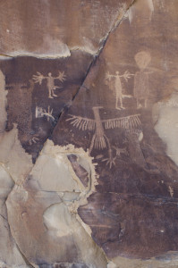
photo (11)I checked out my first petroglyphs at Legend Rock outside of Thermopolis, Wyoming. Legend Rock is a 400-meter long cliff with more than 92 prehistoric petroglyph panels and over 300 carved figures. The informational brochures say that the carvings were made over the course of time between 11,000 to 100 years ago.

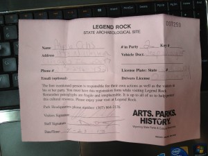
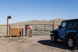
IMG_4131Now, you’re getting an inside tip because Wyoming doesn’t exactly advertise this state park. To visit the petroglyph site, you have to fill out a registration form at the Hot Springs State Park or the Thermopolis Chamber of Commerce, where you rent out an actual key. You actually have to get out of your car and unlock a huge gate to get into the park. And you’ll likely have the park all to yourself while you’re there too.

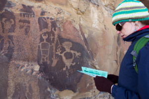
IMG_4126The interpretive trail brochure that you pick up with the key provides diagrams and descriptions of what you’re supposed to see at each marker. Since petroglyphs are carved into the rock, they’re much easier to see than their painted counterparts. A variety of anthromorphs and zoomorphs line the cliff walls, often depicting creatures with far too many heads and arms. There are fifteen markers along the cliff, which are spaced closely together along a dirt walking path.

IMG_4150While making your way from one marker to the next, you can’t help but notice more “recent additions” on the cliff wall. In 1989, a small turtle was carved near Marker #12. The initials W.H., R.H., and M.C., which represent people who died in World War I, can be found near Marker #14. A carving that reads, “No Trojans Allowed” was created by a high school student on a field trip near Marker #15. The state park pegs these recent additions as vandalism and graffiti. But are they really?

IMG_4146By definition, both petroglyphs and pictographs are vandalism and graffiti. People have been defacing rock structures for thousands of years, and after a certain amount of time, the graffiti is considered to be historical art.

Where do you draw the line between cultural expression and kids being disrespectful? How many years must pass before “No Trojans Allowed” is considered a legitimate petroglyph?

And so the “Pictographs v. Petroglyphs v. Graffiti” debate continues…

Visiting Mt. Rushmore…With Creatures

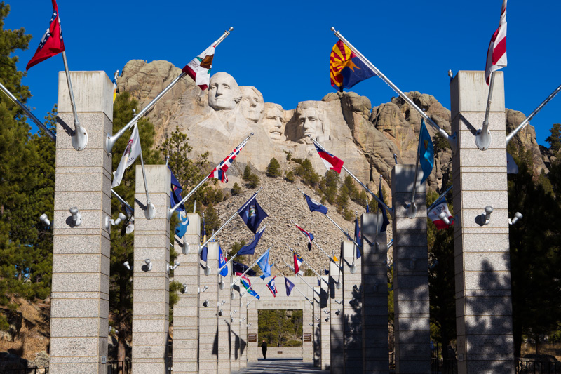
Our visit to Mt. Rushmore started off like pretty much like anyone else’s. We flashed our Annual National Park Pass at the ranger, parked the car, and trekked through the hallway of flags towards the giant heads carved into rock.

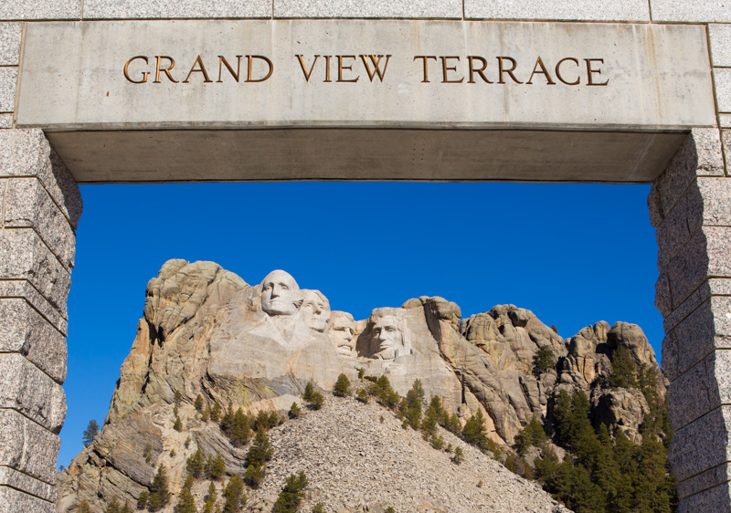
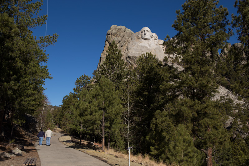
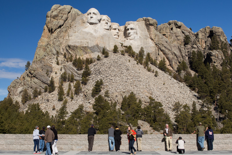
IMG_0227Following the path past the information office and the cafe, the Grand View Terrace was the first viewing spot.

Since we were visiting the monument in early April, the crowds were amazingly slim. It really peaceful visiting the popular tourist attraction without screaming kids and over-55 crowd tour buses blocking the view.

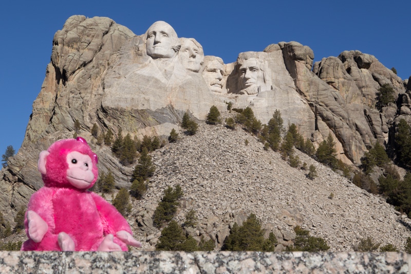
IMG_0234Plenty of tourists have visited Mt. Rushmore, so what makes my visit blog-worthy? Creatures. That’s what…creatures.

My boyfriend and I never travel just the two of us. Ask any of our weirded-out friends, and they’ll confirm. I’ve been an obsessive gnome collector for the past ten years. In response to my gnome obsession, he has developed an equally unhealthy obsession with monkeys.

Three gnomes and four monkeys accompanied us to South Dakota.

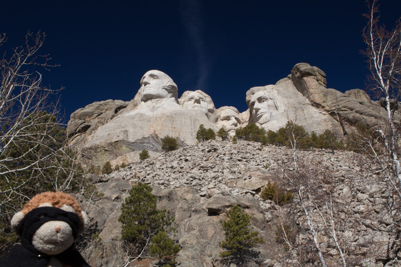
IMG_0238With that being said, gnomes made of ceramic and monkeys made of stuffing follow us wherever we go. It doesn’t matter if we’re coming to your birthday party at a bar or a month-long work-cation, creatures will be in tow. And you’d better find it amusing.

IMG_0283

Why, you ask? Because it’s a hell of a lot more fun, that’s why.

Creatures provide us with someone else to talk to after being in the car with each other for fourteen hours. After missing showers while camping for a week, the last thing I want to have is my picture taken. However, gnomes and monkeys are always photogenic. While we aren’t responsible enough yet for dogs or kids, creatures provide the fun parts while skipping over the bad.

IMG_0247

There is one, and only one, trail that goes around Mt. Rushmore, called the  Presidents’ Trail. Clever.

It’s an incredibly easy walking trail that’s well less than a mile and that pretty much anyone can do. There’s park benches along the trail and different views of the heads around every turn.

IMG_0268

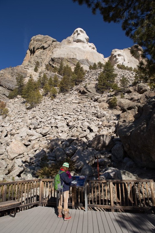
I must say, I was surprised that there weren’t more informational plaques along the trail. There was one for each president, which offered “fun facts” like education level and major accomplishments..but only one each.

While sparse, the plaques were easy to read and not dreadfully stiff. The ADD crowd thanks you, Park District. There were a couple plaques about the construction of the monument towards the end of the trail.

IMG_0301

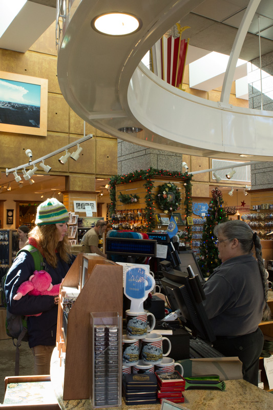
On our way out, we satisfied our consumer tendencies and popped in the gift shop. Fortunately, it was the only sales location on the premises, so the monument was only moderately commercialized. The gift shop was huge and carried all the usual fare.

My boyfriend convinced me to start collecting patches from national parks, and to eventually sew a travel satchel to stitch them onto. I’m quite the novice when it comes to sewing, but I’d love to put my machine to good use for projects like this. I also picked up a souvenir charm for my ongoing travel collection necklace, a cheesy souvenir bandanna for upcoming bad hair days, and a shot glass for his growing (but dreadfully underused) collection.

IMG_0303

At the end of the day, he got some amazing shots of the four heads, which are way better than any stock photography I’ve ever seen. We even went back to the monument after hours to snap some night shots.
IMG_0281

Awesome, but under-publicized fact: You can get into Mt. Rushmore from about 5pm and 9pm for free. The ranger station closes at 5, but the gate is left open to drive through. The park lights up the monument at sunset, which was around 7:30pm when we were there.They shut all the lights off about an hour later and expect you to head ’em up, move ’em out by 9ish.

The Mt. Rushmore at night photography collection will be coming soon, however, my all-time favorite pictures are the ones with our creatures. Millions of people has pictures of Washington, Lincoln, Roosevelt, and Jefferson’s heads carved into the side of a mountain. However, no one in the world has pictures of Ginger, Sheldon, and Peso soaking up the view in various poses.