There are at least a hundred hiking trails in the Smoky Mountains, so how’s a girl supposed to settle on just one for an introductory hike?
Eeny meeny miny moe, randomly point on a map, and hit the road!
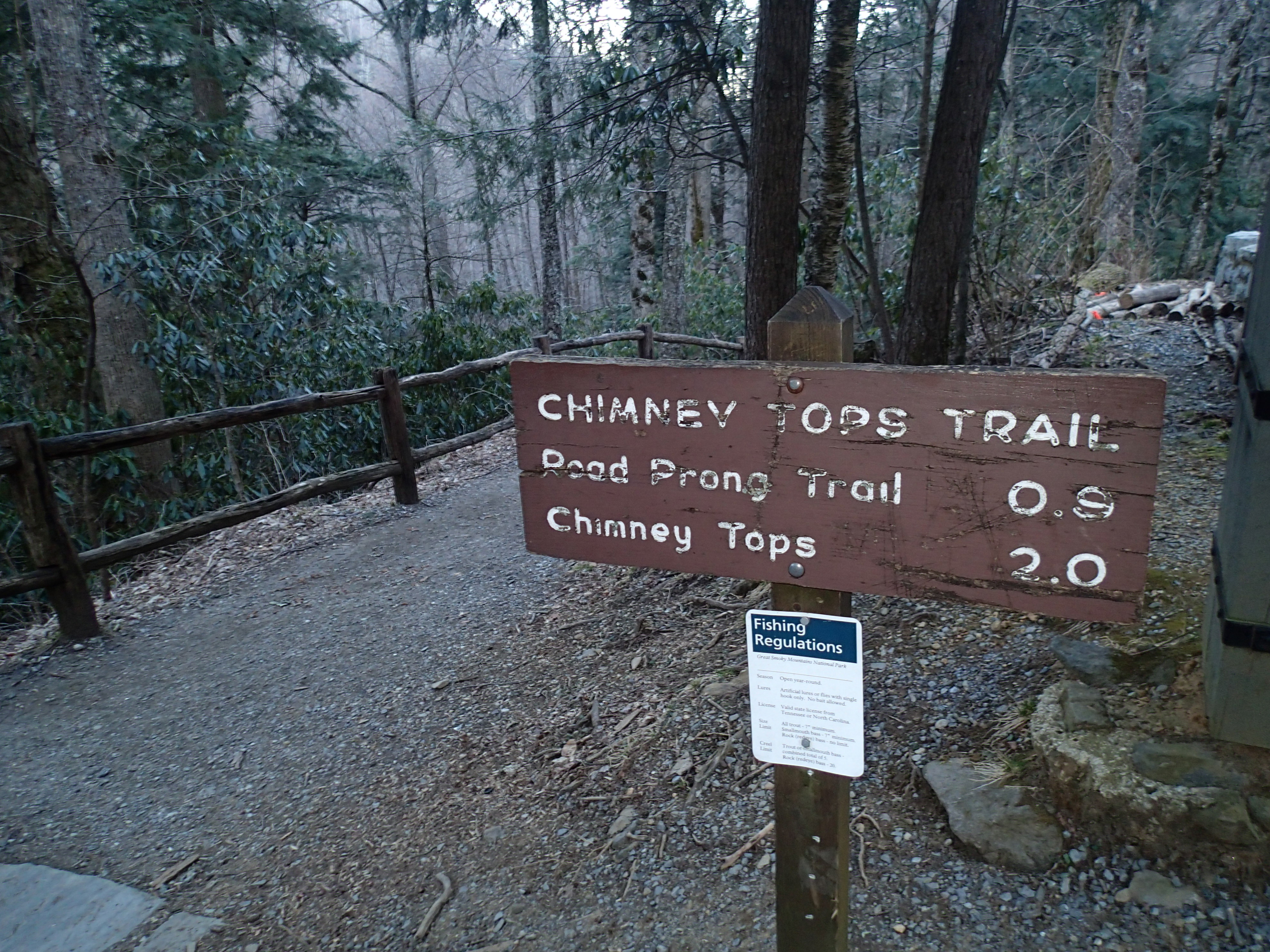
The Chimney Tops Trail climbs 1,400 feet in two miles, making it a relatively steep trail in anyone’s book. The round-trip trail length is four miles, making it perfect for a moderate morning hike. You’ll find the trail-head for the trip almost seven miles south of the Sugarlands Visitor Center on the Newfound Gap Road (latitude 35.63538, longitude -83.46979). There’s a “parking lot” alongside the road that you could easily mistake for a vista point pullout. This is less than a 30 minute drive if you’re camping in Pigeon Forge, like I did.
Chimney Tops is a mountain in the central Smokys with an elevation of 4,724 feet. It’s one of the rare occurrences of a bare rock summit in the mountain range.
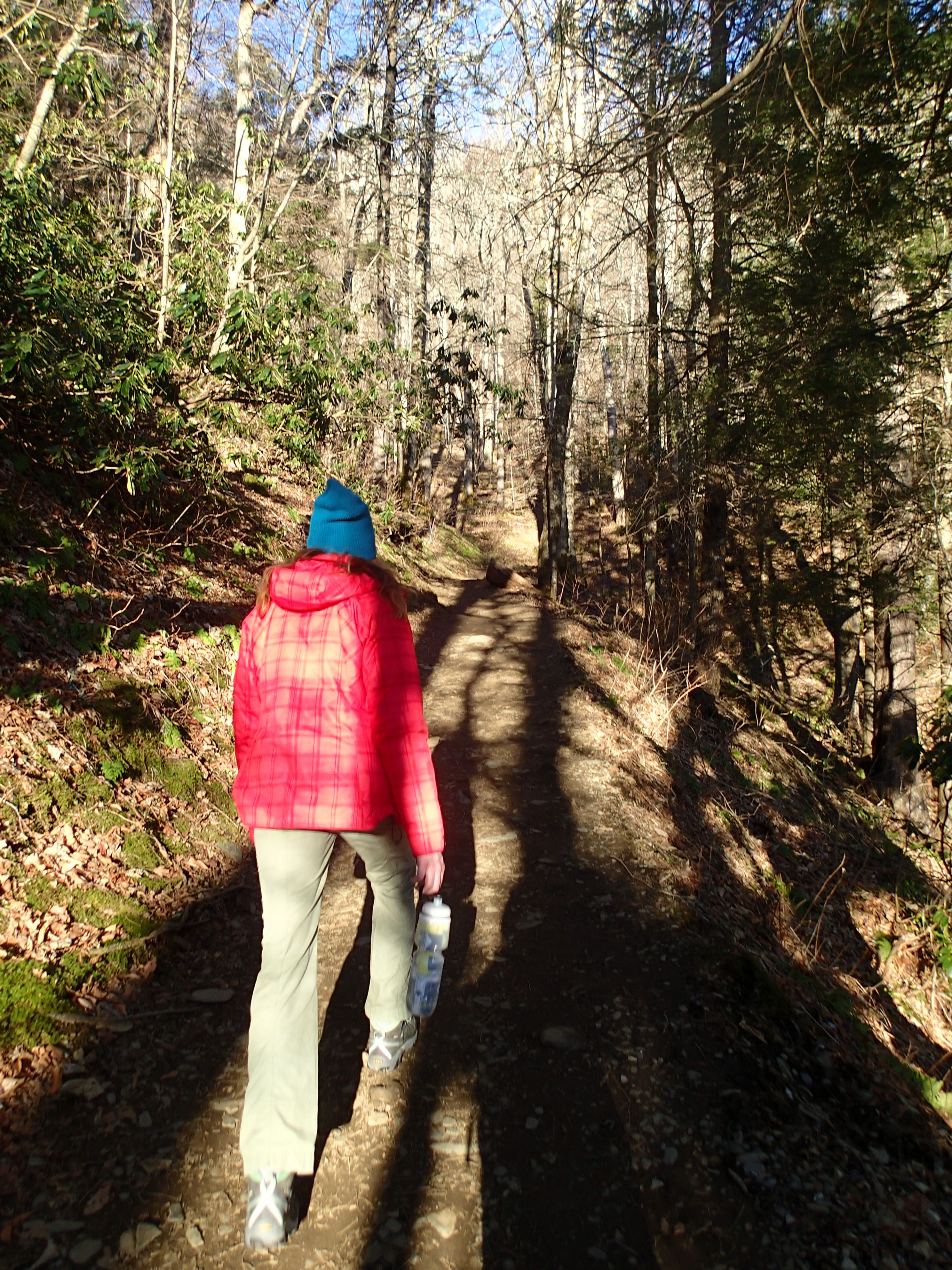
Another reason to hit this trail early in the morning is that it is incredibly popular and gets disgustingly crowded…even during the off-season. The first 0.9 miles of the trail is super easy, so you can get a good pace going.
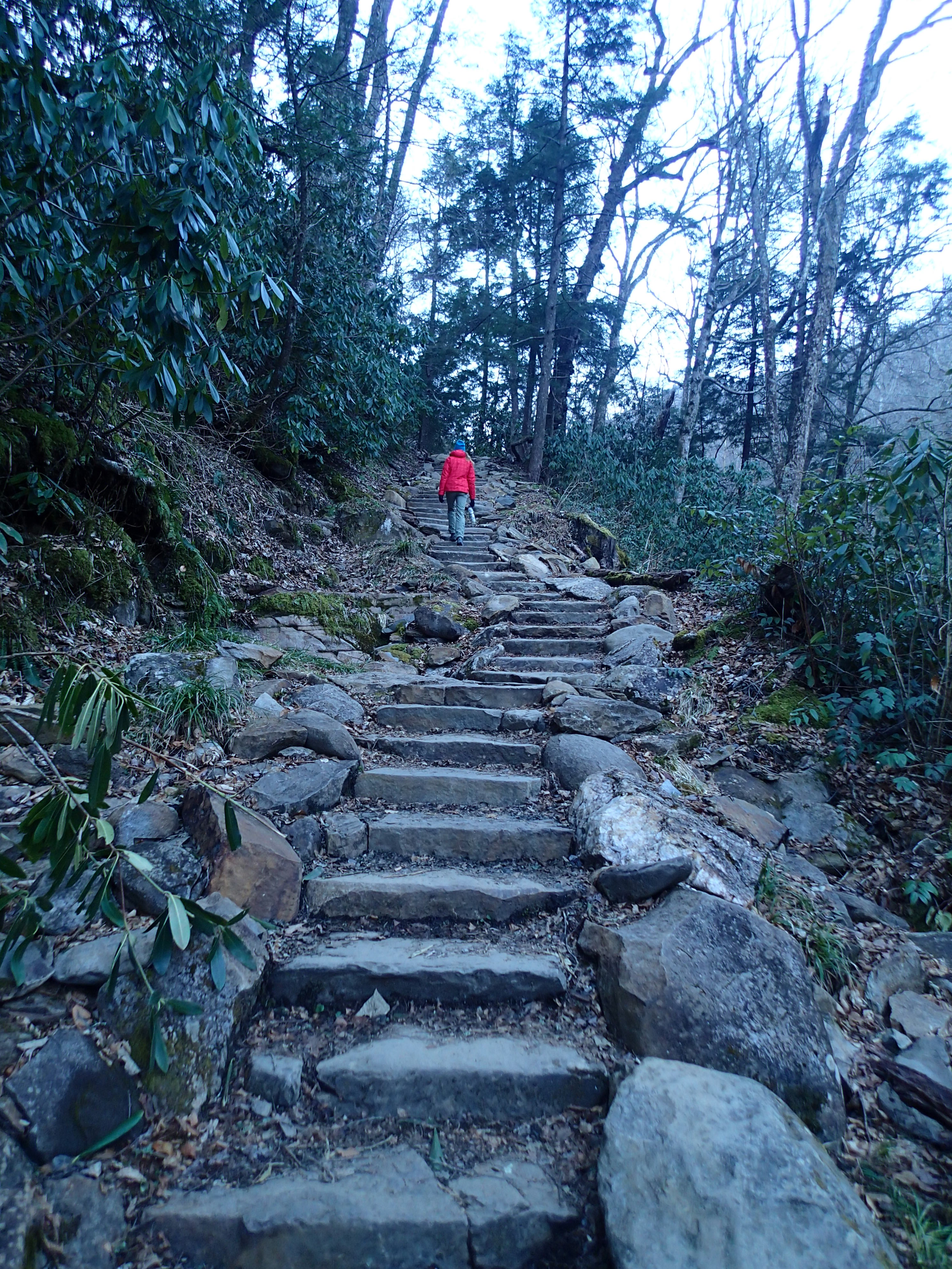
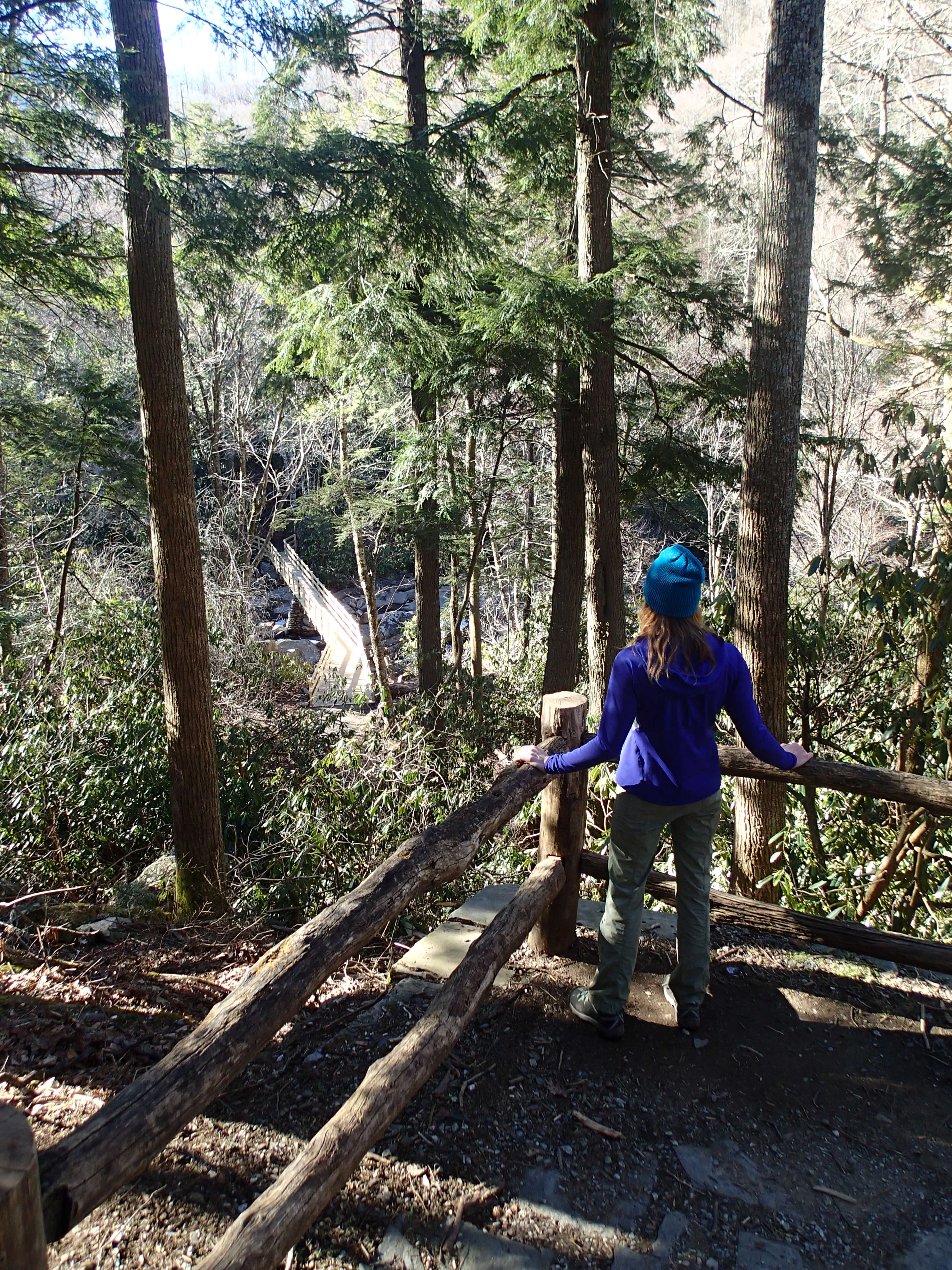
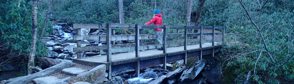
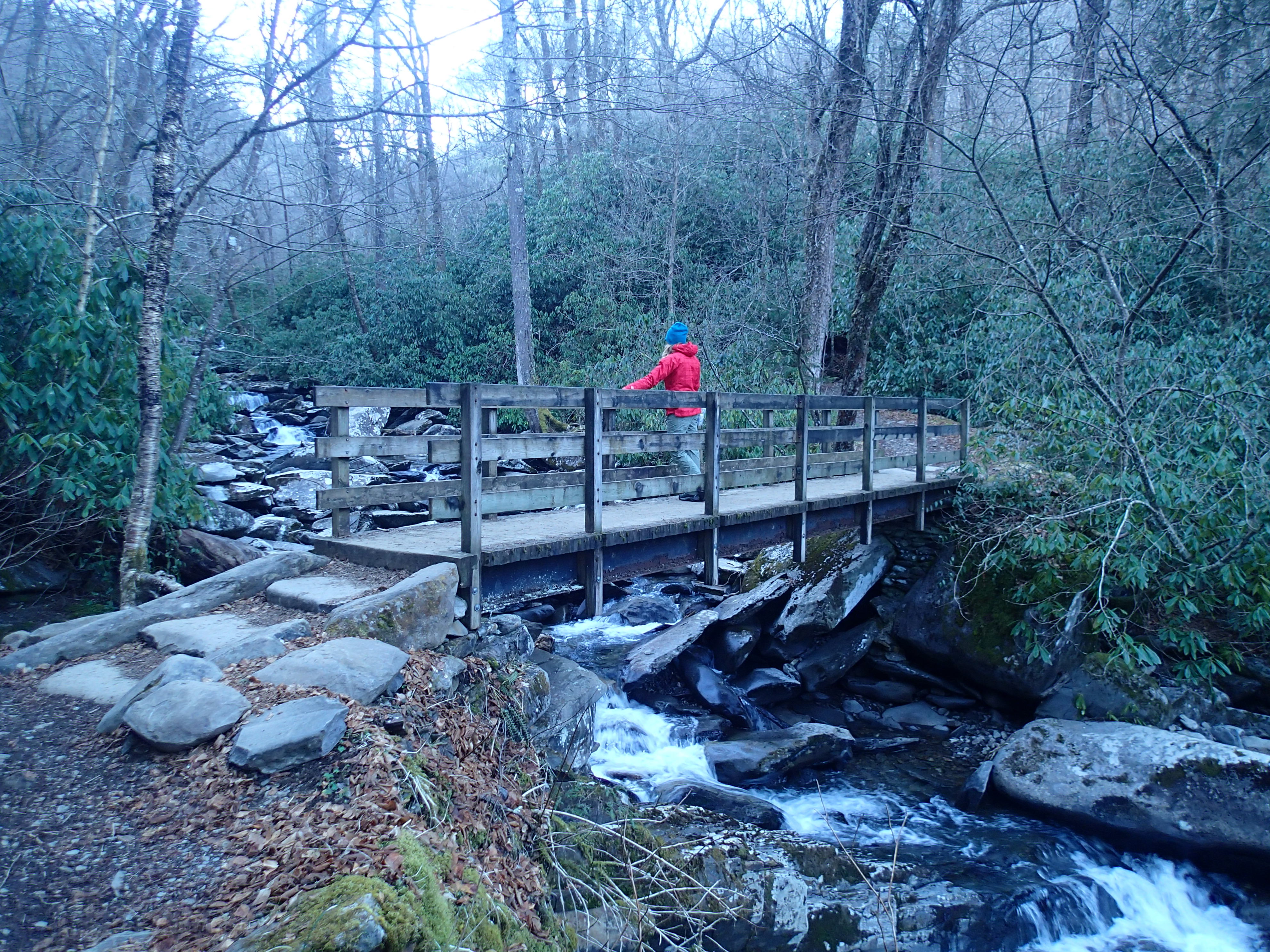
During this stretch, you’ll hike along Road Prong Creek and across several picturesque bridges and up some conveniently placed steps. Expect to step in a good bit of mud, even if you can’t recall the last time it rained.
You’ll know you’re halfway to the summit when you reach Beech Flats, and everything gets a little more challenging from here. Stay on the trail that veers right to reach the summit, which is a bouldering problem if I ever saw one.
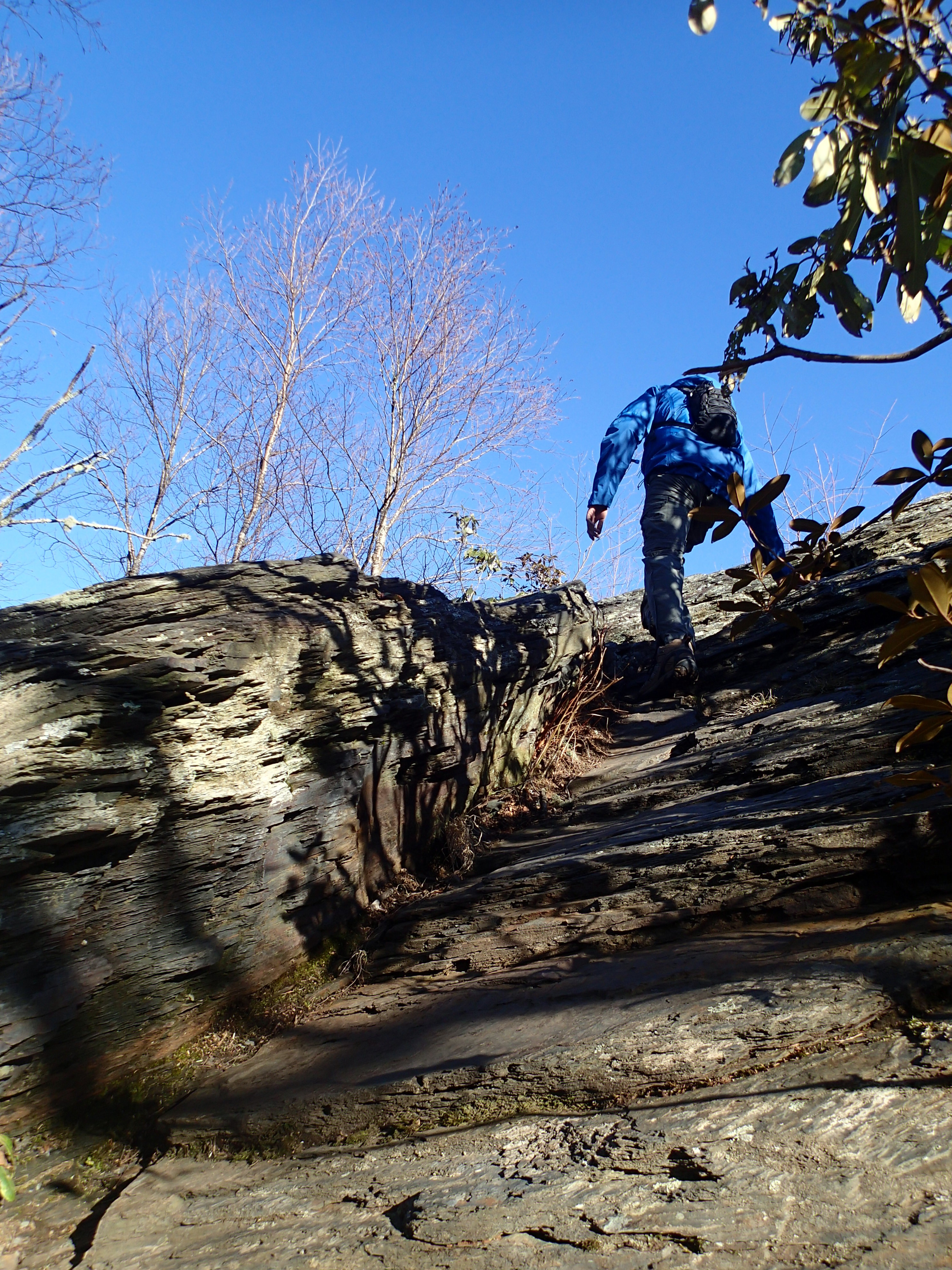
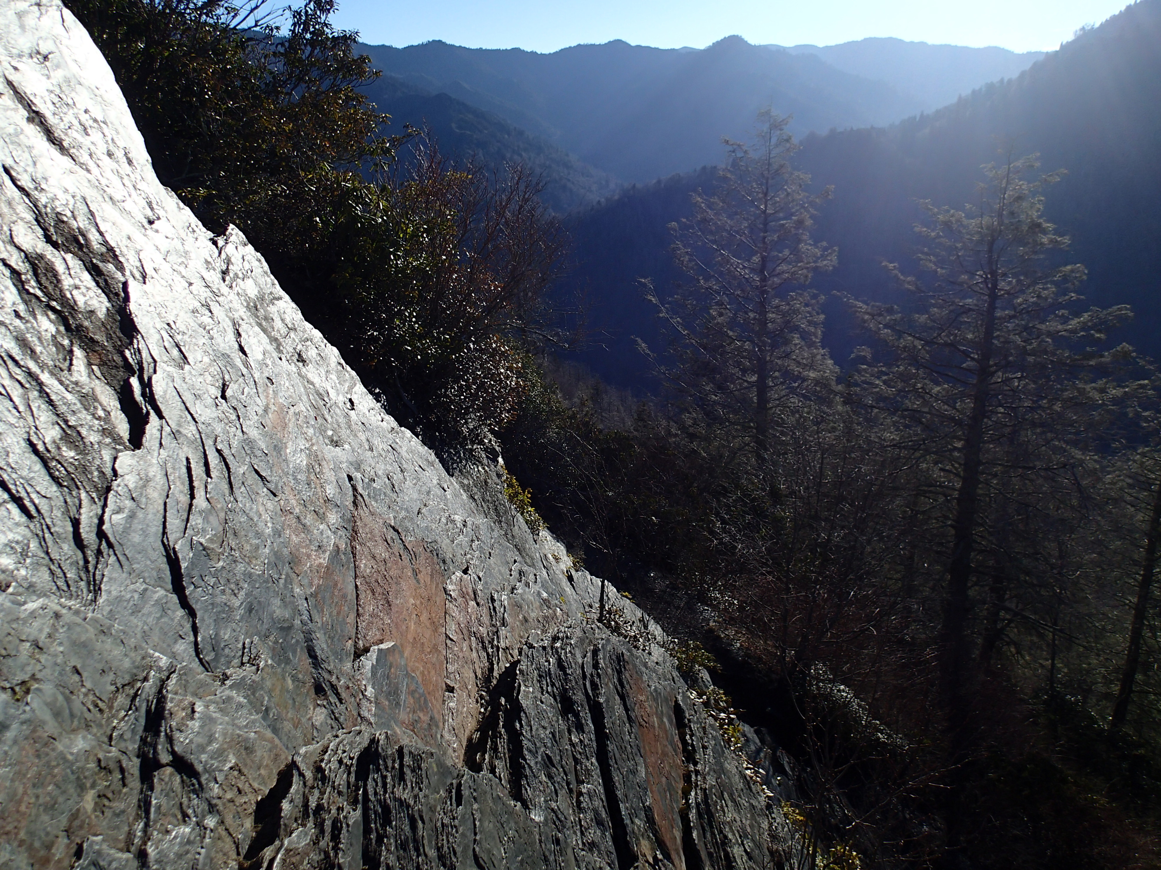
To get the absolute best view, you’ll need to scramble to the top without the help of a cable to hold on to or any technical gear. Hikers get injured here all the time, so if you’ll feeling shaky, stay off the pinnacles and enjoy the comparably awesome view of the Sugarland Mountain in the west and Sugarlands Valley in the north.
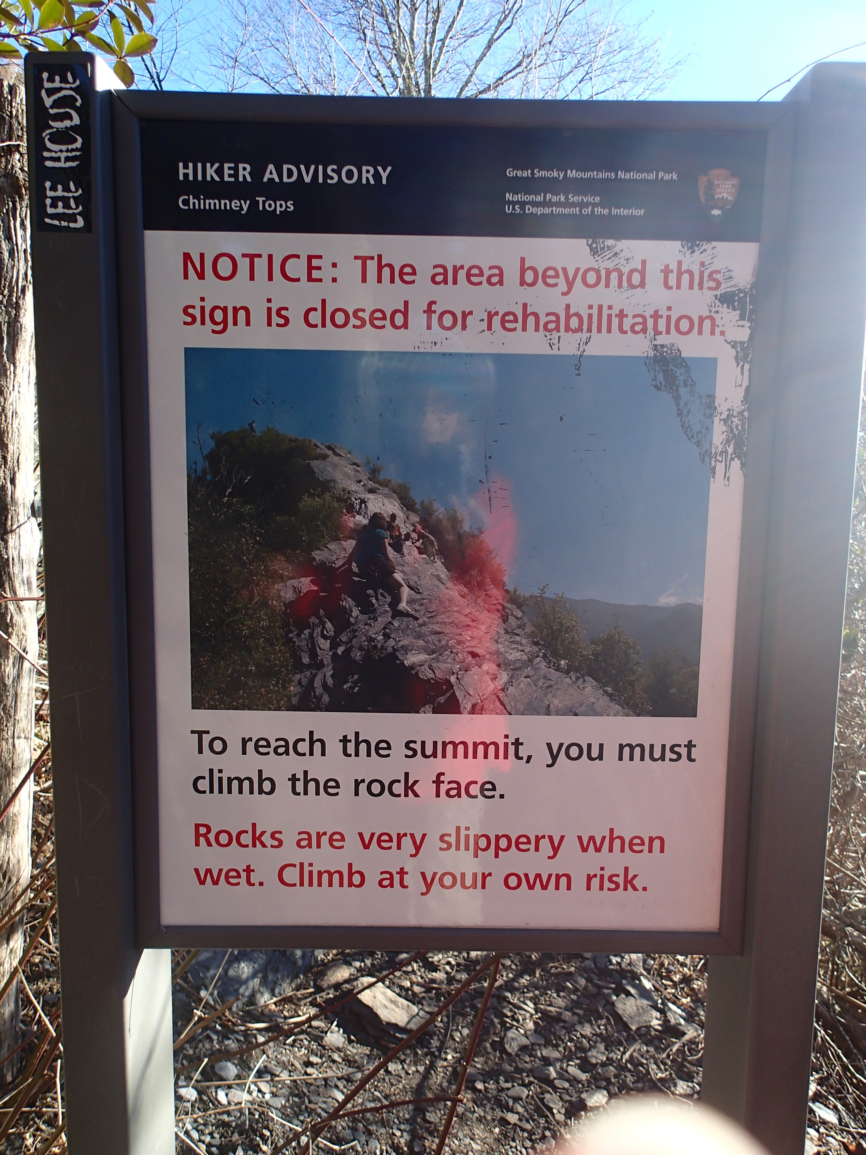
I, for one, had yet to develop my mountain legs and told myself I was satisfied with the view after climbing up about one-third of the pinnacle structure. It is nerve-racking up there, but if you gaze straight forward to either side, the characteristically hazy views should restore some inner balance.
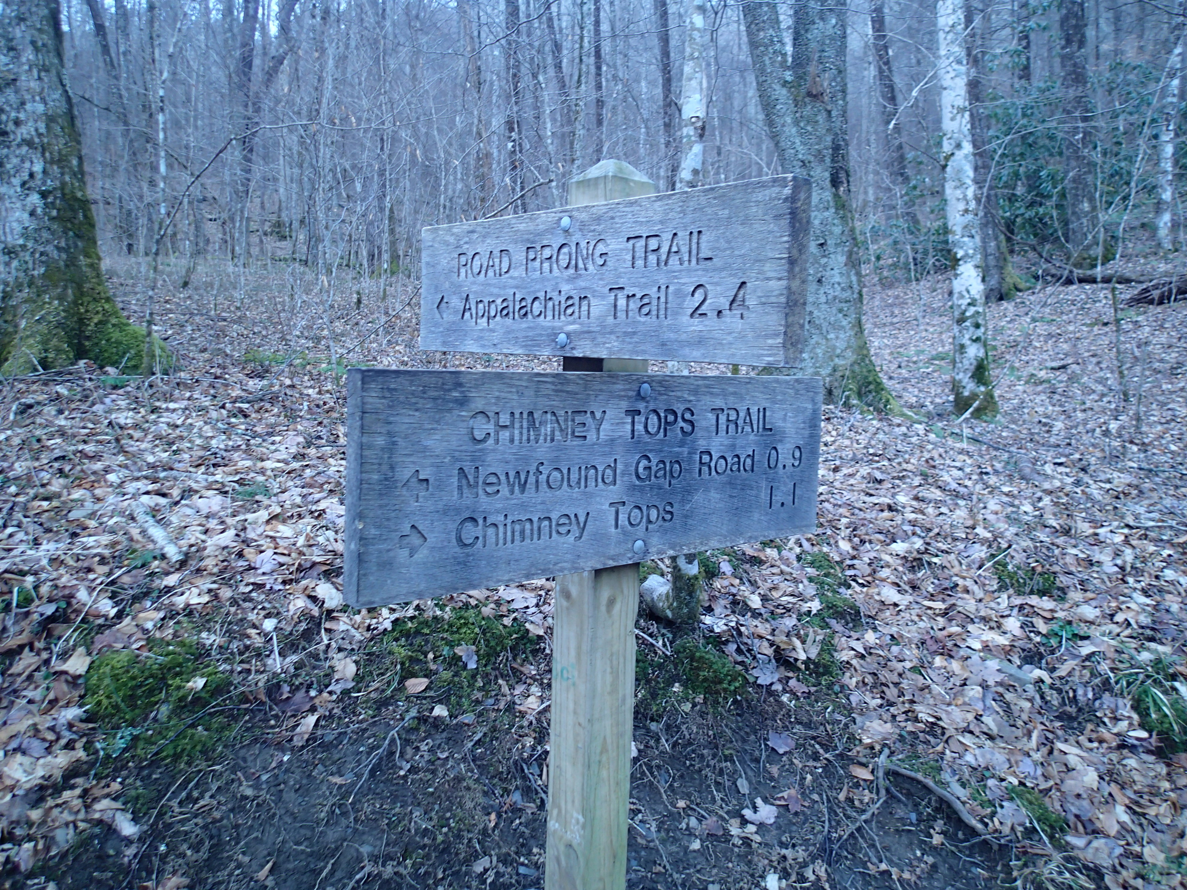
From start to finish, Chimney Tops is an incredibly well-marked trail that provides an impressive introduction to the Smoky Mountains. The better-than-average signage also ensures that directionally challenged hikers, like me, won’t get lost and take a wrong turn.
I hiked this trail in about two hours in early March, starting at about 8:00 am. On the return hike back to the car, I began passing by lots of other hikers. By 10:00 am, there wasn’t a single parking spot available in the area.

Chimney Tops was my first Smoky Mountain hike during my most recent trip to the national park. As I later noticed, every Smoky hike is surprisingly unique and has its own particular set of challenges. Coming up next, I tackle the Grotto Falls Trail and the Rainbow Falls Trail, which both had something entirely different in store for me and my trusty hiking boots.